

DATASETS
Available Location Data
CleverMaps offers high accuracy location data aggregated in ready-to-use datasets for immediate use in our platform and beyond.
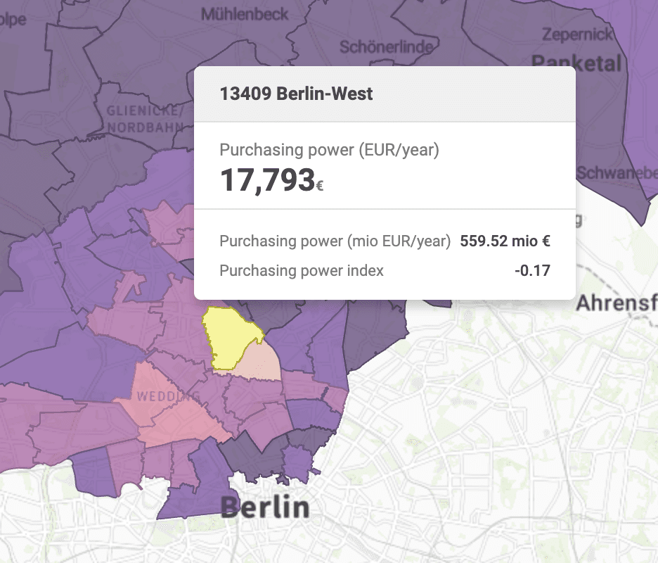
Economic Indicators
Comprehensive data on purchasing power and financial statistics, from the leading data providers.
Human Mobility
Data on population movement patterns, travel behaviors, and commuting trends.
Demographics
Data on population characteristics, including age, gender, ethnicity, education, and income.
Traffic Stats
Data on vehicle flow, congestion, and traffic patterns. Essential for transportation planning and traffic management.
Points of Interest
Location data for restaurants, schools, attractions, business establishments and more, including your competitors.
Retail Exposure Index
CleverMaps' unique dataset evaluates location attractiveness using point count and significance.
Consumer Segments
Detailed information about geotypes and consumer segments across specific locations.
Enhanced Datasets
Enhanced spatial datasets curated by CleverMaps.
Digital Boundaries
Digital boundaries for data aggregation and display on a map.
WHY CLEVERMAPS
Why Source the Data From CleverMaps?
There are many providers of the location data on the market and you might be asking why should you source the data from us?
Support and Expertise: Benefit from expert support and consultation from the CleverMaps team, ensuring you maximize the value of your spatial data investments.
Reliability: Ensure data reliability with annotated and verified information from trusted sources and CleverMaps' own curated data.
Ease of Integration: Seamlessly integrate datasets in multiple formats (CSV, GeoJSON, Shapefile) into your analysis tools, including CleverMaps Studio.

Comprehensive Selection: Access a wide range of curated geospatial datasets and structured dimensions tailored for diverse analytical needs.
Efficiency: Save time and effort with streamlined data procurement processes, including quick access and efficient delivery through AWS S3.
Visualization Ready: Immediate visualization with data models optimized for CleverMaps Studio, enhancing data-driven decision-making.
Global and Verified Data Providers

FAQ
